header print

These Old Maps Show a World We Never Knew Existed

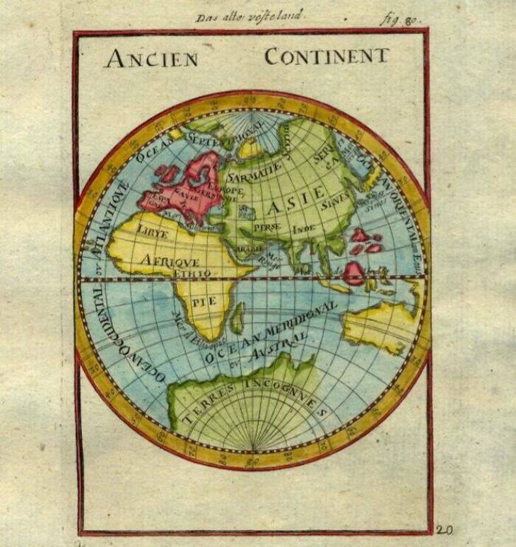
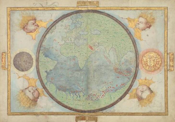
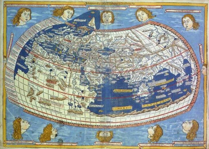
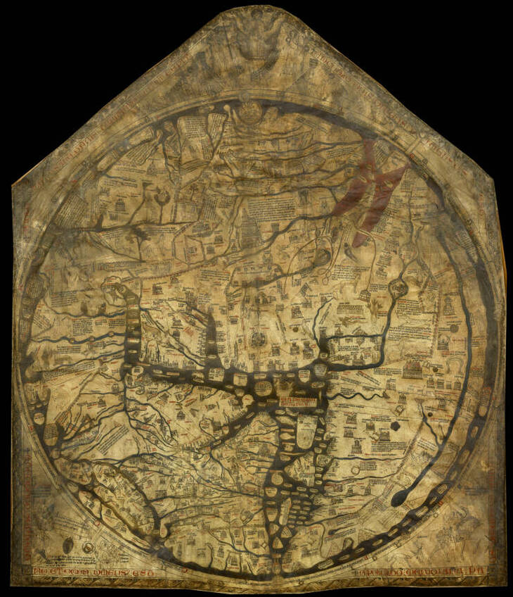
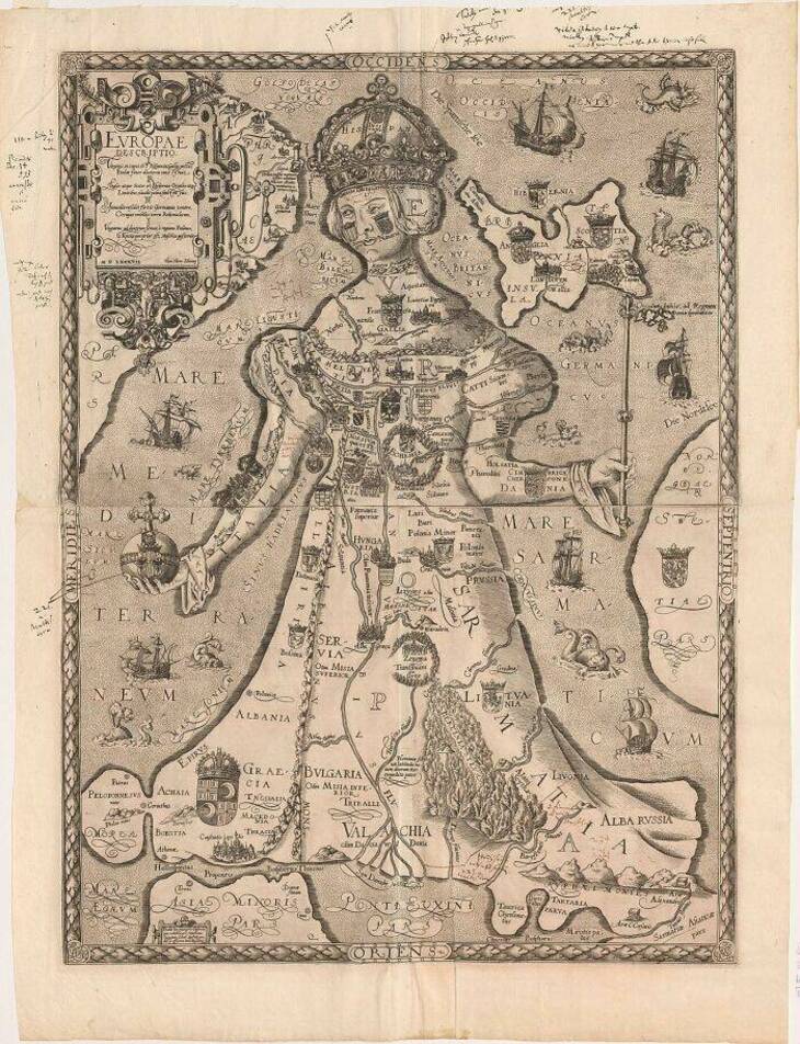
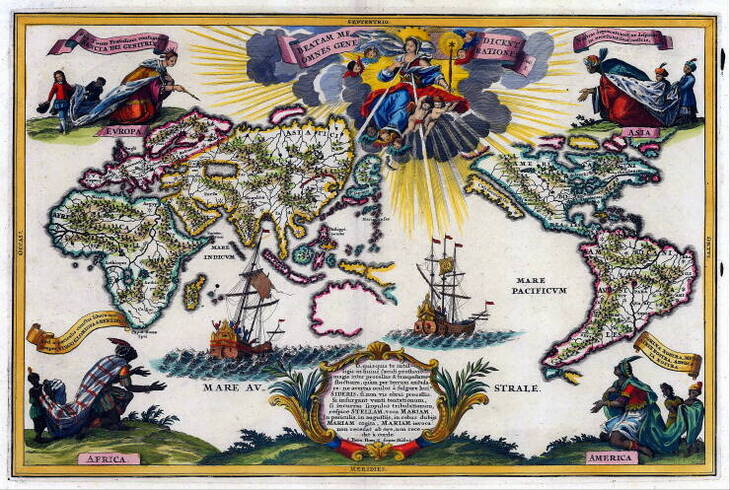
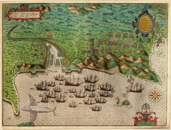
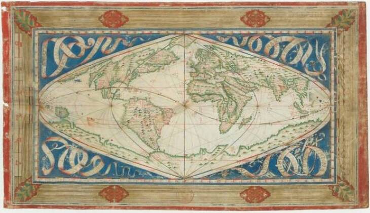
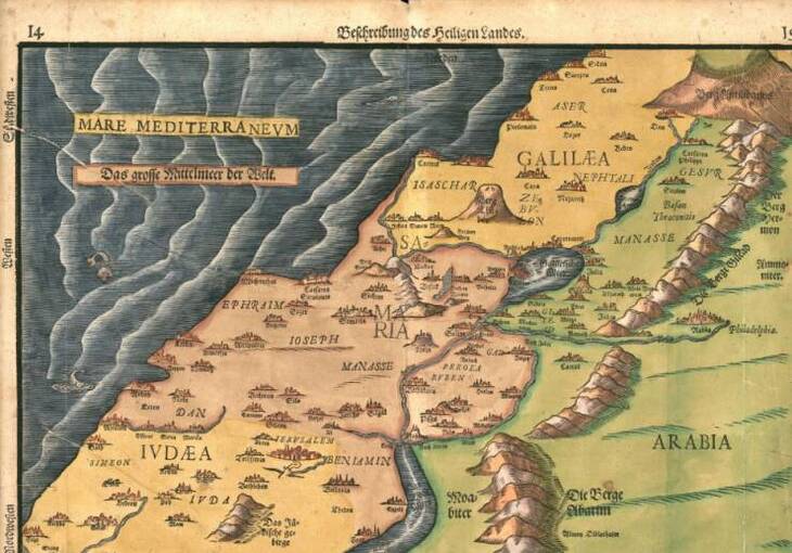
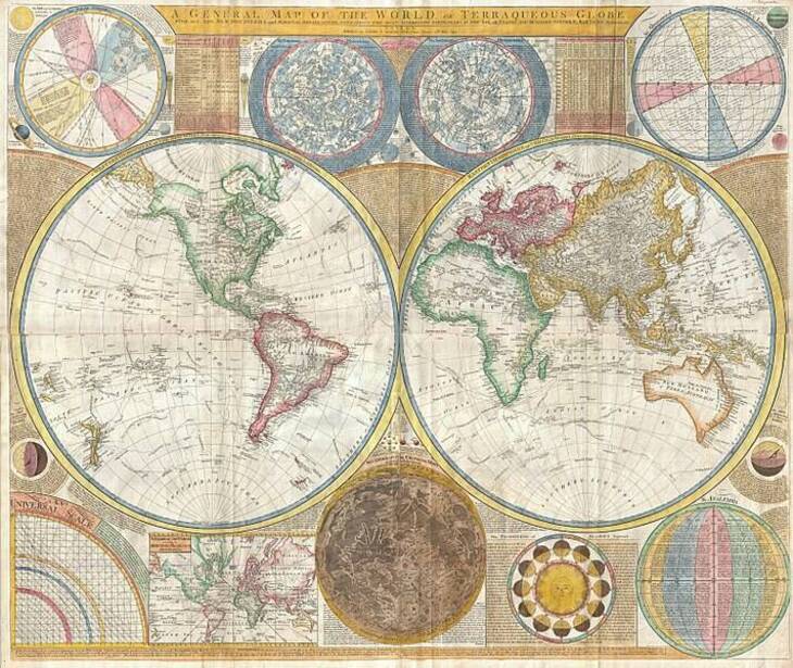
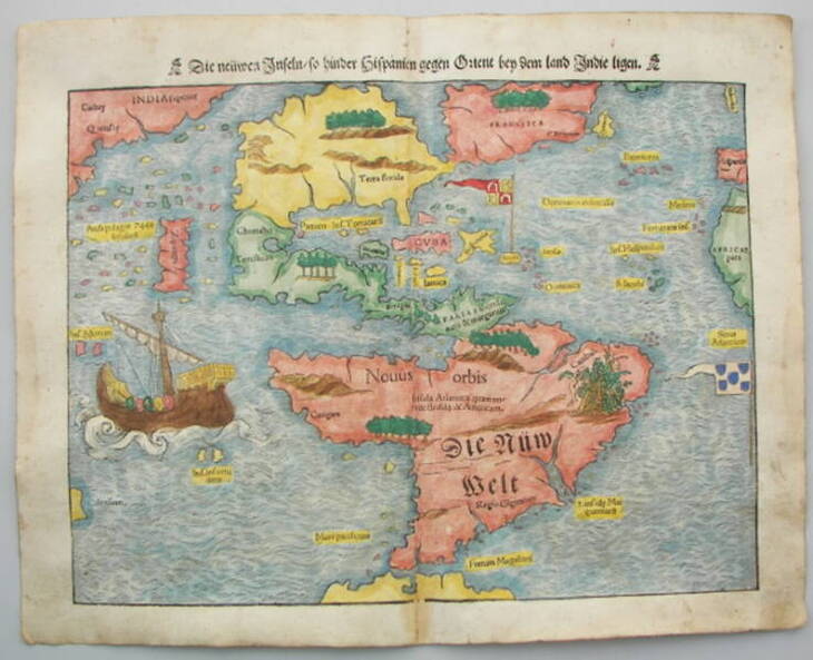
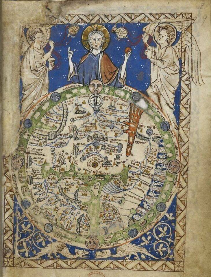
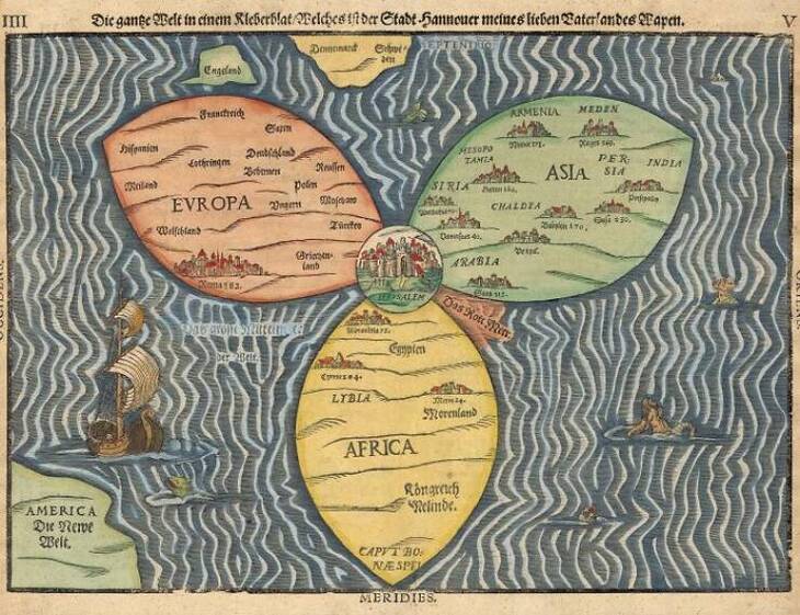
Remember unfolding paper maps on road trips or spinning a classroom globe until the teacher made you stop? Maps always held something magical for those of us who love geography. The oldest maps tell us something profound about how our ancestors understood their world. Some placed their capitals at the center, others filled unknown areas with sea monsters, and many got things surprisingly right despite limited tools. 

Some are full of mistakes, others feel eerily accurate. But each one says something about how humans made sense of the unknown. If you enjoy history, geography, or just looking at things drawn with care and curiosity, you’ll want to check out these fascinating maps from the past. 

Related: See Old America Like Never Before With These Vintage Maps

Click on images to enlarge

1. Map of the ancient continents, 1719

Ancient Maps

2. Nautical atlas of the world, circular world map of the Portuguese hemisphere, 1519

Ancient Maps

3. Ptolemy's world map, designed in 150 AD. For the first time in history, longitudinal and latitudinal lines were added to a world map

Ancient Maps

4. A map of the celestial globe with comet, 1618

Ancient Maps

5. The largest medieval map (Hereford Mappa Mundi), 13th century

Ancient Maps

6. Map of Europe in the form of a queen, engraving and letterpress, 1587

Ancient Maps

7. World map, 1700

Ancient Maps

8. Cadastral map showing land ownership in Fushimi, Kyoto, Japan, 1595

Ancient Maps

9. Map and views illustrating Sir Francis Drake's West Indian Voyage, Santiago, 1586

Ancient Maps

10. Cosmographical map or universal description of the world with the actual path of the winds, 1570

Ancient Maps

11. Description of the Holy Land, 1585

Ancient Maps

12. Samuel Dunn's map of the world, drawn in 1794 AD. Dunn was the first to present a comprehensive depiction of the globe, utilizing the discoveries made by Captain James Cook as his primary reference

Ancient Maps

13. Map of the Americas, 1553

Ancient Maps

14. The Psalter World Map, drawn by an unknown medieval monk in 1260 AD. Maps from this period usually place the east at the top of the globe, symbolizing where the sun rises and where Jesus watches over the world

Ancient Maps

15. Map of the ancient Roman world from their perspective

Ancient Maps

16. The Bunting Clover Leaf Map, created by Heinrich Bunting in Germany in 1581, is a Christian map that reflects a religious perspective of the world. This map illustrates the world as an extension of the Christian Trinity, with Jerusalem at its center, serving as the focal point that unites everything.

Ancient Maps
All images: Izismile
Next Post
Sign Up for Free Daily Posts!
Did you mean:
Continue With: Facebook Google
By continuing, you agree to our T&C and Privacy Policy
Sign Up for Free Daily Posts!
Did you mean:
Continue With: Facebook Google
By continuing, you agree to our T&C and Privacy Policy